Otter Creek Floodplain, Middlebury, Vermont
Challenge
In 2011, Tropical Storm Irene brought heavy precipitation that caused rivers and streams to overflow their banks in much of Vermont. The damage was severe, with more than 500 miles of roads, 1,000 culverts, 200 bridges, and 1,600 homes destroyed. Otter Creek, one of the largest rivers in Vermont, flooded the city of Rutland, where the peak discharge was 15,700 cubic feet per second; flood levels remained for four days, resulting in heavy damages. However, Middlebury, located just 30 miles downstream from Rutland, had a peak discharge of only 6,180 cubic feet per second. The town was spared from the flood because of the vast network of floodplains and wetlands upstream.
Project Details
- Location: Middlebury, VT
- Population: 8,500 (Town of Middlebury)
- Strategies: Open Space Acquisition, Floodplain Restoration
- Cost: Unknown
- Benefits: Reduced flood damages, Habitat conservation, Water quality
History
Otter Creek overruns its bank on a yearly basis, mostly from spring rains and snow melt. Berms have been built along many sections of the river to control rising water and protect agriculture as well as residential and commercial developments. In 2011, Tropical Storm Irene caused severe flooding throughout New England — especially Vermont, which experienced its highest flood levels in recorded history. The flooding surpassed the previous high water mark from 1938.
Otter Creek is one of the largest rivers in Vermont, stretching for 112 miles through Bennington, Rutland, and Addison counties before draining into Lake Champlain. Unlike most of the state, where only about 5 percent of the natural wetland habitat remains, the stretches of Otter Creek between Rutland and Middlebury contain almost 9,000 acres of natural area and a mosaic of habitats including forested floodplains, wetlands and swamps — all of which retain excess water that overflows the banks of Otter Creek and act as buffers to prevent flooding.
Solution
The key to protecting Middlebury was the conservation of the Otter Creek floodplain and restoration of its wetlands. Much of this protection was provided by willing landowners who agreed to sell conservation easements on their land in communities located upstream of Middlebury, such as Brandon, Leicester, Pittsford, Sudbury and Whiting.
The Natural Resource Conservation Service in Vermont, part of the U.S. Department of Agriculture, runs the Agricultural Conservation Easement Program. This program protects lands suitable to act as floodplains in perpetuity by placing parcels into conservation easements, providing financial and technical assistance to landowners that are willing to retire their property from agricultural activities. Fields that connect existing wetlands are also targeted for placement into easements. The program intends to restore the natural hydrology of the land by plugging ditches that were constructed to drain the wetland. The program will also remove berms, dig shallow depressions to increase habitat complexity, and plant native vegetation. The program has 23 conservation easements protecting 2,148 acres of wetland along Otter Creek. Most of these easements are small parcels, with the largest one being 500 acres.
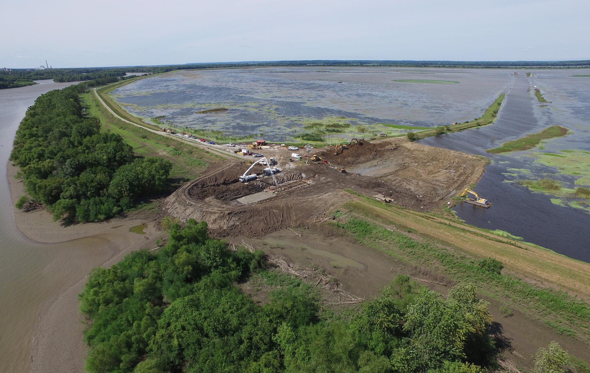
Restoring the floodplain by removing a 2,000-foot section of berm along the Indian River has also benefited Middlebury, allowing the river to flow more freely. The area downstream experienced significantly less damage during Irene.
The successful protection of Middlebury influenced the decisions of many neighboring community leaders in the aftermath of Tropical Storm Irene. In Forestdale and Mt. Holly, berms were washed out by flooding, and the communities decided not to rebuild them to better reconnect the rivers to their floodplains and increase the natural flood storage capacity.
Benefits
A study conducted by Keri Watson from the Gund Institute and University of Vermont found that the floodplains saved Middlebury $1.8 million from flood damage during Tropical Storm Irene alone. That same study looked at 10 different flood events and found that floodplains saved Middlebury between $126,000 and $450,000 each year in damage reduction. These numbers only consider damage to property and businesses that were prevented and are extremely conservative. The study did not consider the costs incurred due to damaged roadways, reduced access to emergency services, or lost wages from the loss of access to work or reduced economic expenditures at local business. It is safe to say the true cost is much higher than what the study found.
Outdoor recreation at Lake Champlain is a major driver of the regional economy and is dependent on maintaining high water quality and natural resources. Otter Creek is in the Lake Champlain watershed, and as such, the Otter Creek wetland complex plays an important role in filtering excess nutrients and pollution before waters enter the lake. The wetlands along Otter Creek also play a vital role in the lives of waterfowl and migrating birds and provide habitat to myriad species.