Hazards Addressed
Regional Considerations
Cost
Community Type
Scale
Enhanced Floodplain Mapping
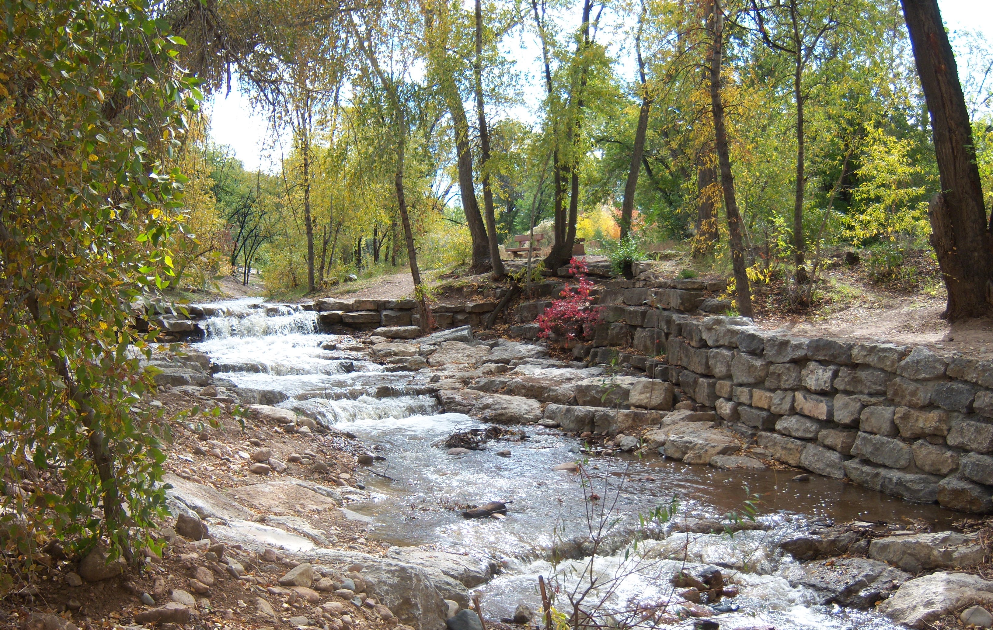
Flooding is a natural process that, in the absence of human settlements, is of relatively little concern. However, when human settlements are introduced in to an area where flooding occurs, hazards to life and property from rising flood waters become challenges that must be addressed. Effective floodplain management requires communities to identify and understand which areas in their community are at risk from flooding, create planning and zoning schemes that keep people and infrastructure out of harms way, and establish regulations that promote flood safe decision making.
It is common that most communities across the United States rely on the National Flood Insurance Program’s (NFIP) Flood Insurance Rate Maps (FIRMs) to determine where there is risk of flooding in their community. While FIRMs may serve as a good baseline for determining where flooding may occur, they do have limitations that can impact their effectiveness at properly identifying the real flood risk in a particular location.
The five most frequently identified shortcomings of the NFIP minimum mapping criteria are (1) the maps become outdated as watersheds develop, (2) the NFIP floodway standard automatically allows for an increase in flood heights, (3) once the floodway is established, minimum regulations and methods for calculating impacts will not prevent an increase in flood heights and flood damages, (4) the maps do not consider geomorphologic changes in streams, and (5) the maps do not depict areas susceptible to riverine or coastal erosion.
Instead of relying solely on FIRMs, communities can and should engage in enhanced floodplain mapping to get a better picture of their relative flood risk. As a part of their No Adverse Impact approach, the Association of State Floodplain Managers has put together extensive guidance on improved floodplain mapping as well as specific guidance on coastal flood mapping. The following is a short synopsis of the major considerations that should be taken to create a more effective floodplain map.
Map a More Complete Floodway
A floodway is a regulatory construct that is meant to define the area of a floodplain where there is moving water. Current federal standards for mapping a floodway is based on allowing new development to encroach into the natural (aka full conveyance) floodway to the extent that it causes no more than one foot of increased flood heights. However, an Association of State Floodplain Managers study determined that using this method for mapping floodways on average allows half of the natural floodway to be filled. Such encroachments not only cause flood heights to increase by one foot but flood waters to flow faster (flood waters on average can be flowing 33% faster). In addition, even though the federal standard for mapping floodways allows new development to increase flooding by one foot, federal standards do not require buildings to be constructed higher as a result. To ensure existing residents in the community do not experience increased flooding due to new development, communities should limit encroachments into their floodplain that would increase flood heights. They can do this by treating the full extent of their floodplain as floodway or if a portion is mapped as floodway to not allow the width of the natural floodway to be reduced. This concept is known as mapping the full conveyance floodway.
Map Residual Risk
FIRMs do not account for flooding that would occur if a levee, dam, or seawall were to be compromised or overtopped during a flood event. Without this information, large populated areas may be subject to fast and deep flooding that comes with little or no advance warning after a structure breaches. It can be hard to envision how catastrophic failure of flood control mechanisms may impact your community, however not doing so may put numerous people at risk. Having maps of areas protected by levees and other structures can be important for emergency response and to help make community residents aware of their risks.

Map Future Risks and Impacts
As sea levels rise and precipitation events are increasingly intense and land use changes over time, future flood maps will look drastically different than they do today. Buildings that are built today have a reasonable lifespan of 50 to 100 years, meaning that development that is considered safe from today’s flooding may be in harms way in the not too distant future. To account for the impacts of future flooding, communities should work to incorporate sea level rise impacts, coastal and riverine erosion, and changes in precipitation patterns into their flood mapping wherever possible.
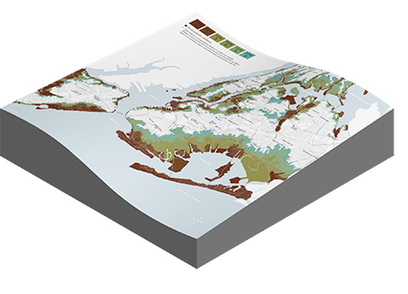
The National Oceanic and Atmospheric Administration has created projected sea level rise maps for the entire United States coast that can help visualize what future sea levels and storm events might look like.
The National Climate Assessment made general projections for land use change over time as well as projections for changes in precipitation. Wherever possible locally down-scaled information should be used to get a more refined view of what the future may hold.
Map Existing Natural Flood Protection
The benefits of intact natural habitats – wetlands, beaches and dunes, mangroves, etc. – are often not represented in floodplain mapping. Similar to capturing the risks associated with losing flood control infrastructure, intact natural habitats can and do provide flood protection benefits that can be overlooked when considering a community’s risk. Capturing where these systems currently exist, and where they’ve been lost, is an important first step towards being able to more effectively manage potential flood impacts.
In addition to mapping existing natural infrastructure, efforts should be made to account for how sea level rise and other long term changes in precipitation patterns and climate will impact the health and location of such infrastructure. Modelling tools have been developed that can help communities envision where future habitats may exist as sea levels rise. One such model, Sea Level Rise Affecting Marsh Migration (SLAMM) and NOAA’s Digital Coast provides further resources, data, tools, and trainings worth exploring for communities dealing with coastal issues.
Summary
Relying solely on the Flood Insurance Rate Maps produced by the National Flood Insurance Program leaves a community open to increased flood losses. Creating floodplain maps that focus on the entire floodplain, account for the potential risk posed by existing flood control infrastructure, and try to prepare for future impacts from changes in precipitation, sea level rise, and land use will provide a much more effective base from which a community can engage in comprehensive flood management.
Additional Resources
ASFPM has developed a flood management approach called No Adverse Impact (NAI) as well as a considerable amount of resources on how to best manage the floodplain. A broad array of guidance and information is available via the ASFPM NAI Resource Center.