The Napa River Basin, California
Challenge
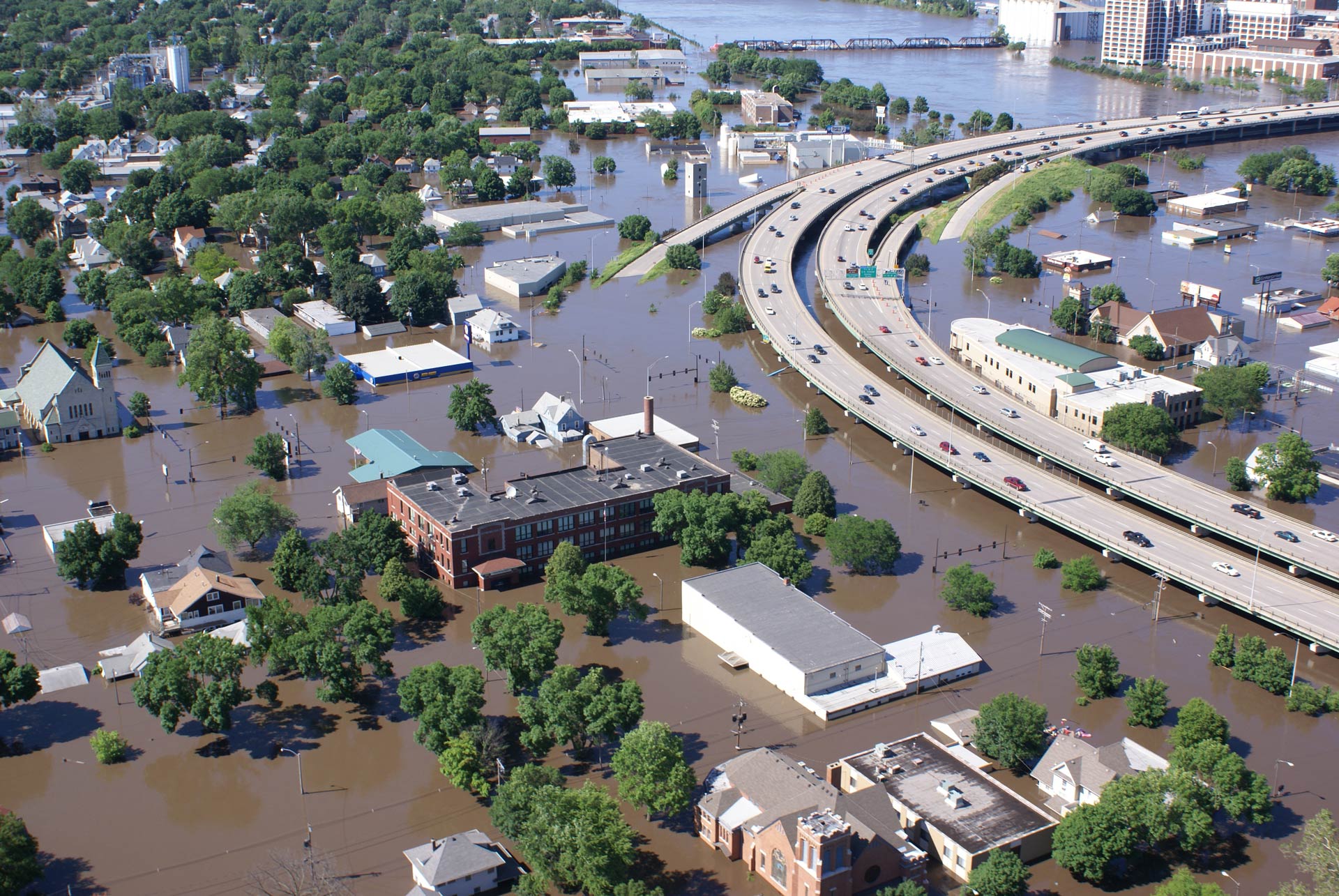
In February of 1986, a flash flood took three lives, damaged 245 homes and 120 businesses, caused the evacuation of roughly 7,000 people, and left 25,000 people without power for several days. In total, Napa County suffered an estimated $100 million in property damages. While Napa County has long been plagued by significant flood events, the 1986 disaster solidified the importance of enacting a flood mitigation strategy.
Project Details
- Location: The City of Napa, Napa County, California
- Population: 80,000 (Urban)
- Cost: $900 million (Ongoing)
- Strategies: Property Buy-outs, Setback Levees, Establishing Flood Bypasses, Flood Water Detention areas, Flood Friendly Culverts and Bridges, Restoring Floodplains, Open Space Preservation, Waterfront Parks
- Benefits: Flood Mitigation, Habitat Restoration, Water Quality, Recreation, Parks, Tourist Attraction Potential, Fish Spawning and Habitat
History
The Napa River travels 50 miles from Mt. St. Helena to the San Pablo Bay and connects to 47 tributaries, making it the West Coast’s most significant estuary system. The Napa plays a key role in maintaining the region’s bio-diverse ecosystems – supporting a dense riparian forest and providing wetland habitats that contain spawning areas for salmon and steelhead. However, degradation to the area’s ecology from urbanization, agriculture and grazing practices has altered the river basin and increased flood risk. Channelization and erosion led to an increase in significant flood events. While the Napa’s floodwaters seemed to turn on the residents, the residents likewise turned on the Napa, with many using the river as a garbage disposal.
Flood records in the Napa River basin detail at least 27 significant flood events, dating back to 1862. Previously, residents of Napa used sandbags and other man-made barriers in an attempt to defend their property from flooding and erosion. However, these methods proved insufficient.

Solution
After the flood of ’86, The U.S. Army Corps of Engineers (USACE) proposed a flood protection project to build higher levees and add more structures to the Napa River. However, the community opted to pursue a restorative flood mitigation approach instead, with a focus on addressing the many environmental issues (water quality, waste disposal, habitat destruction, etc.) throughout the region. The local governments of Napa and surrounding counties backed the initiative to create a more cohesive flood protection approach.
Unique to this project is its holistic approach to floodwater mitigation that uses many different features and techniques to provide protection up to a 100-year flood event. The design aims to create a “living river” – returning the river to its natural state and using the river’s natural features to prevent flooding. Instead of using conventional flood mitigation methods that diminish the character of natural waterways through dredging, widening and damming, the design of the Napa River project uses more environmentally-friendly techniques that have added benefits.
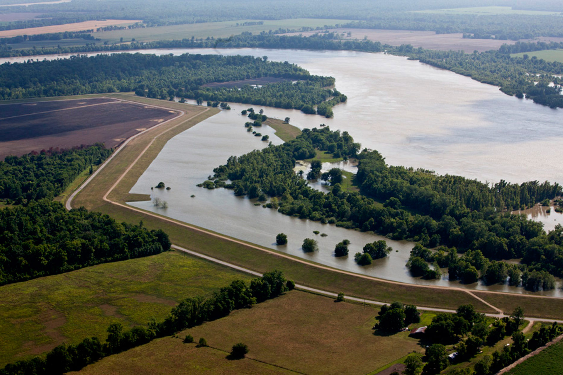
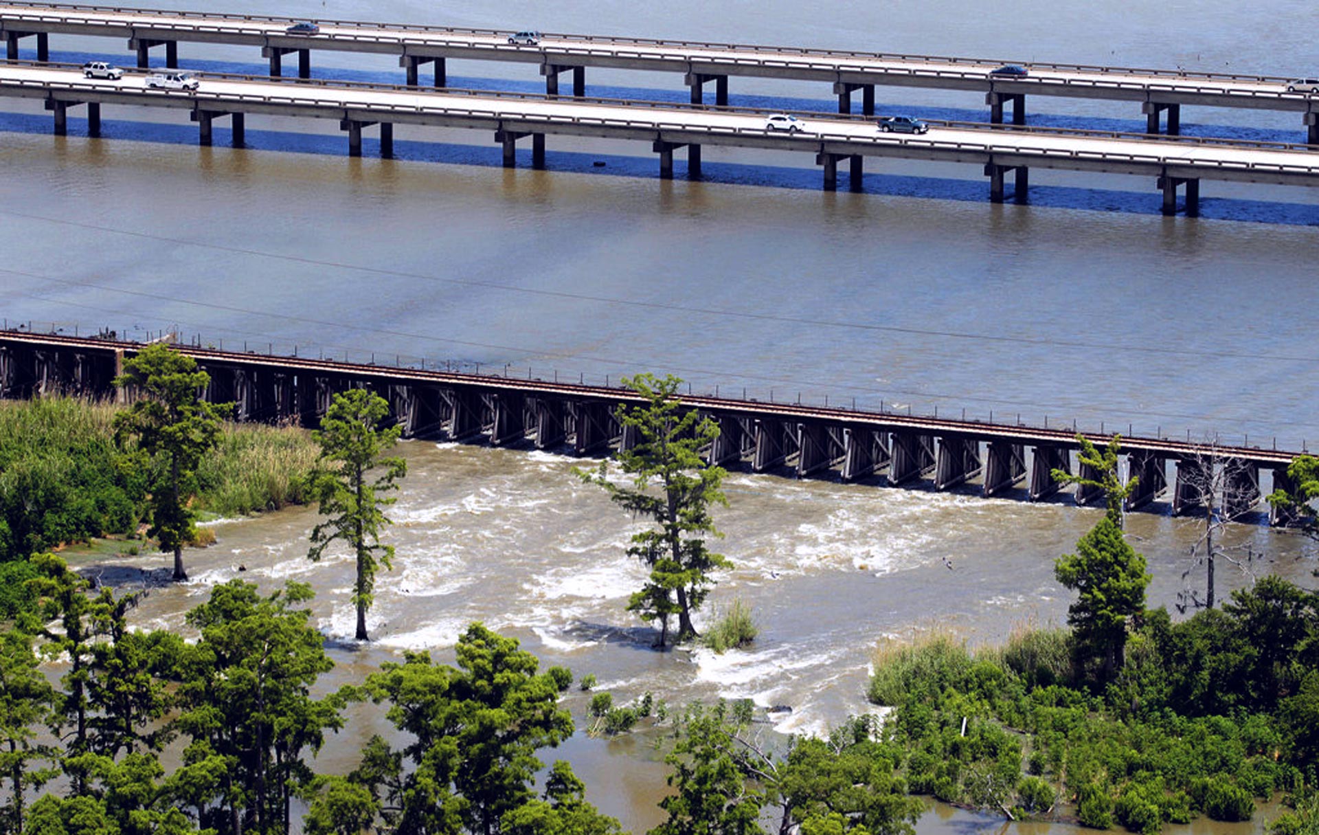
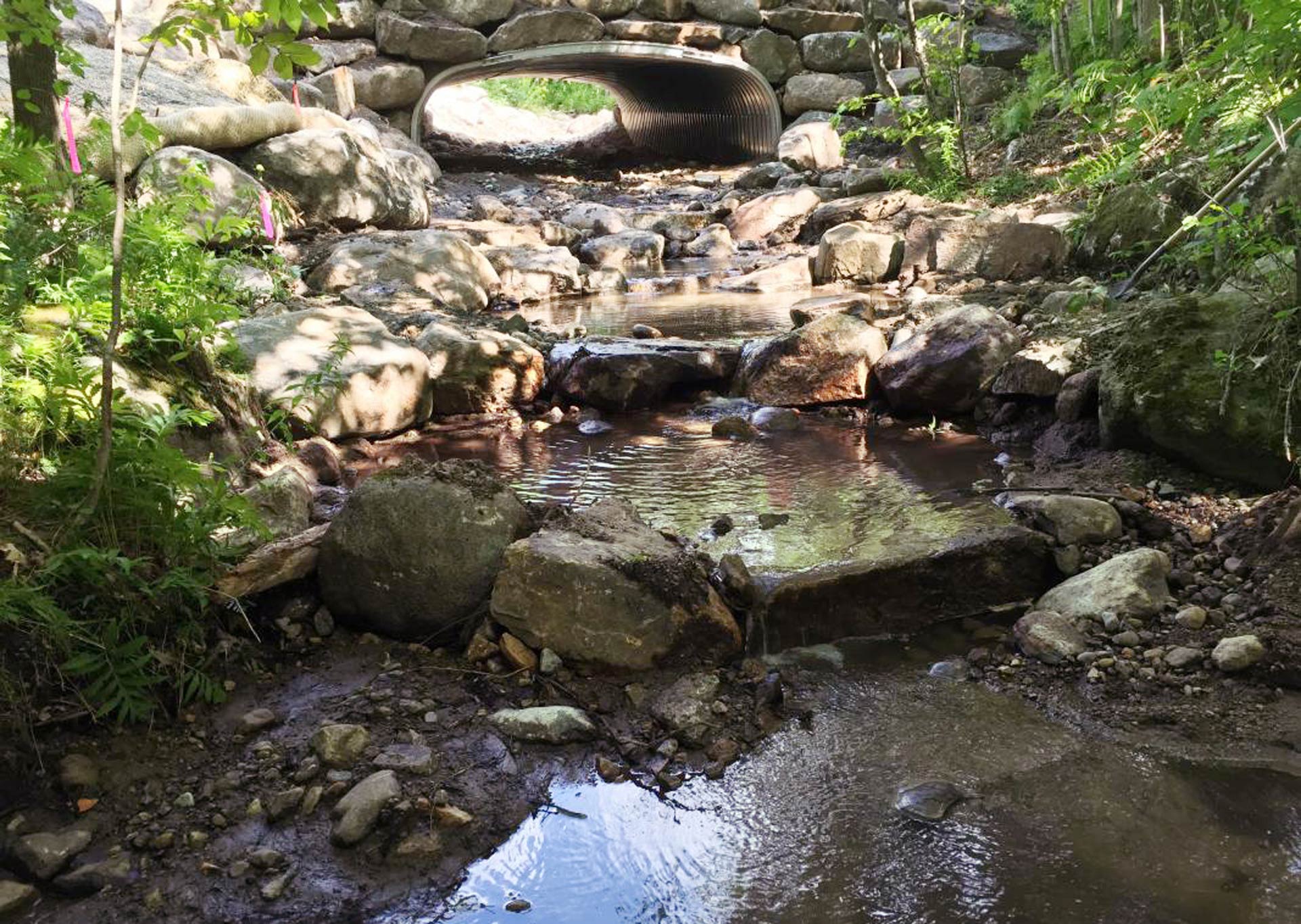
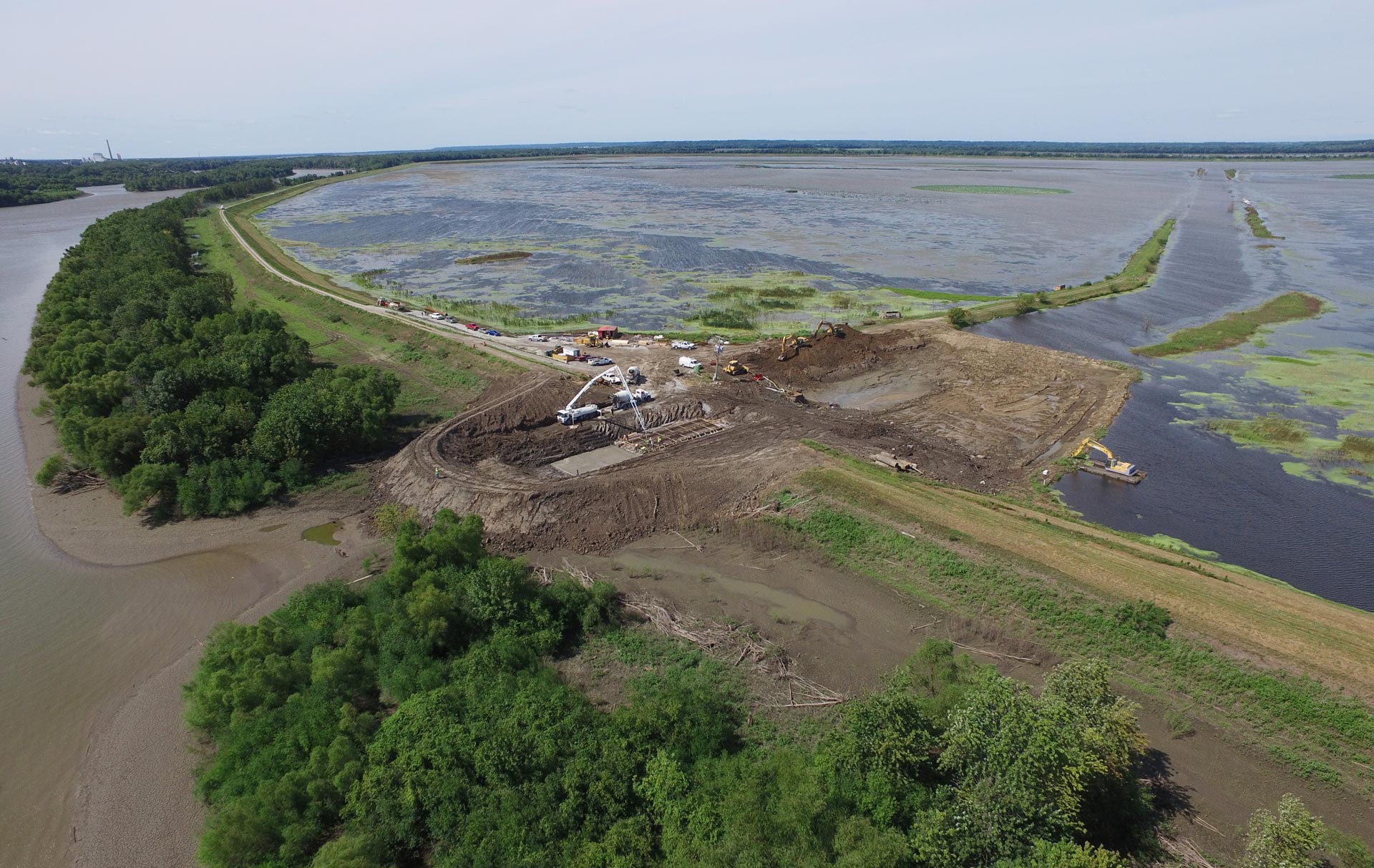
One key aspect of the plan was to remove bridges that blocked the river’s natural water flows. A railroad was also moved back. Designers wanted to ensure that an uninterrupted corridor existed for fish to move more freely, also helping to reduce excess sedimentation. Riverbank terracing techniques allow the water to spread horizontally into defined areas. Downstream, project designers bought and restored a large area of pastureland to a wetland environment capable of holding water. If and when floodwaters rise to “flood stage,” the water will be diverted via a bypass channel that sends fast-flowing water around the sharp turns of the river’s natural banks. Since this bypass can only be utilized once waters reach a certain level, the oxbow of the main river will remain connected to the main channel, preserving the existing habitat. Low flood walls and tiered levees were also constructed to ensure the mitigation success of a 100-year flood event.
Partners, Costs and Funding
With Napa County and its agency — the Napa County Flood Control and Water Conservation District — and USACE as the leads, the Napa River Flood Protection final project proposal was completed in 2000. This project brought together many different types of funding involving federal, state and local governments along with the Community Coalition, the Friends of the Napa River, Napa Valley Economic Development Corporation, Napa County Resource Conservation District, Napa Chamber of Commerce, San Francisco Bay Regional Water Quality Control Board, California Department of Fish and Game, the Sierra Club, Napa Downtown Merchants, and The Flood Plain Business Coalition.
The cost of the project is currently at $900 million and increasing. In March of 1998, Napa County voters passed “Measure A,” establishing a half-cent sales tax to provide ongoing local funding. The state of California used its California Flood Control Subventions fund to provide funding as well; and lastly, GEMA and the Coastal Conservancy provided grants.
Funding has helped acquire property, build four bridges, relocate utilities, restore 600 acres of wetlands, and construct two miles of floodplain and marsh plain terrace. However, more work remains. Delays in funding have extended the project’s timeline.

Benefits
As of February 2016, the flood protection project is 70 percent complete and has already demonstrated its effectiveness. Significant advancements in flood protection were observed as early as 2005, when a large storm swept through the Napa County area. Many Napa citizens with flood experience agreed that damages from this flood were less than anticipated.
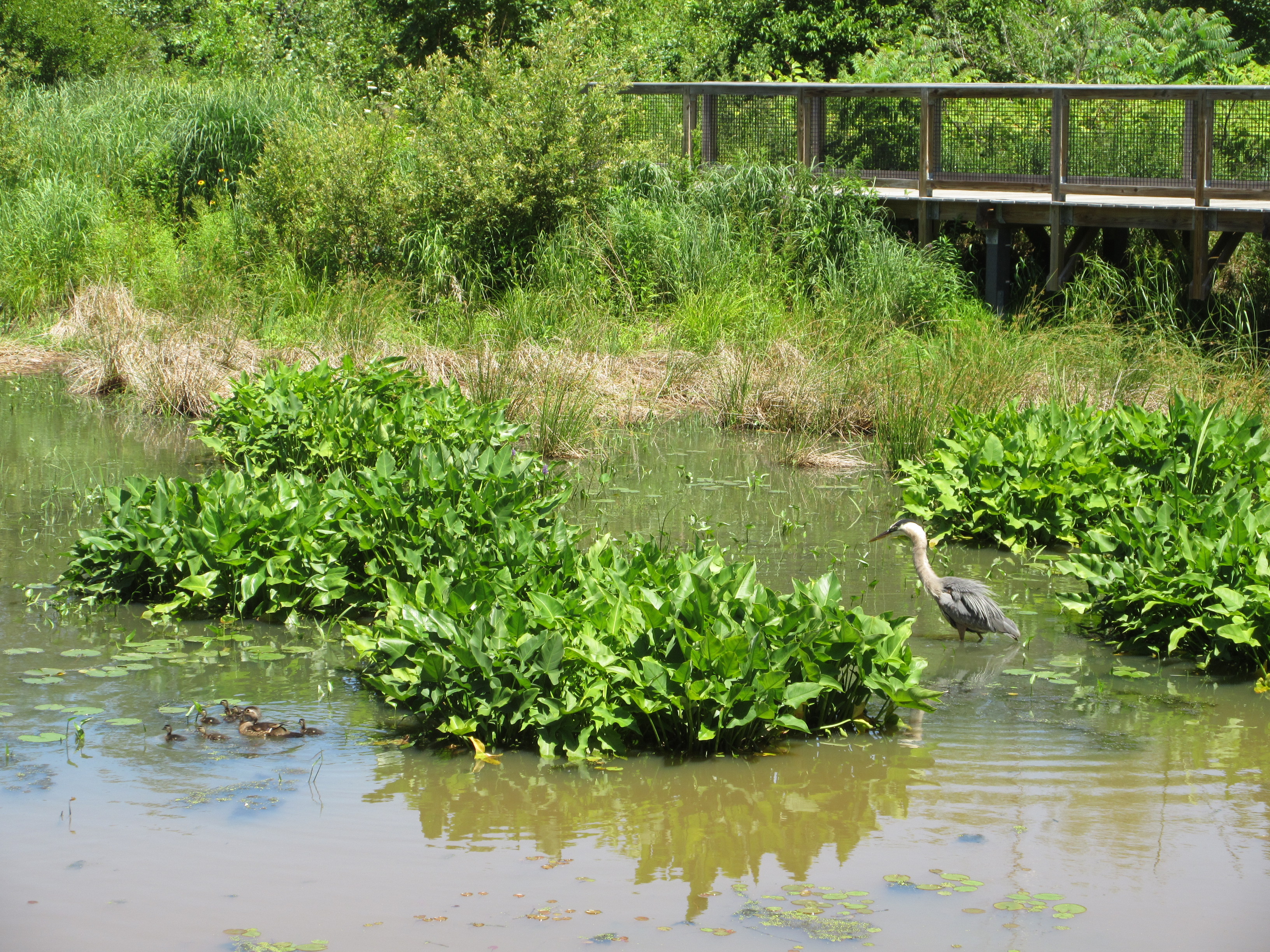
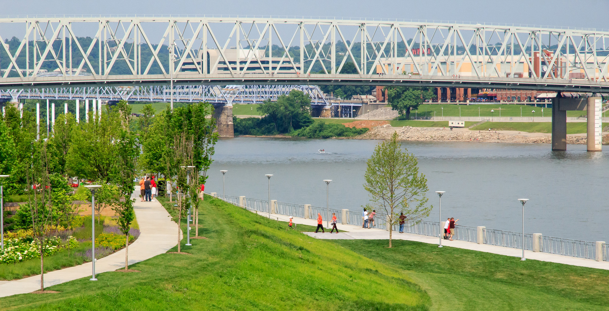
Although floodwater control is the main goal, the design of this project considered other possible benefits. The new wetlands also serve as a bird habitat. Social benefits were also taken into consideration; the design called for the creation of more green areas and parks with 6 miles of trails – enhancing the river’s aesthetic appeal, along with increased river access.
Other benefits include potential economic investments that will come from beautifying the river, potentially attracting restaurant owners and hotel developers.
Summary
This unfinished project is already showing significant flood mitigation improvements in the Napa County area. It has played a key role in creating a model, natural infrastructure approach to flood mitigation – showing significant ecological, social and economic benefits.
* The Napa River Flood Protection Plan will be completed as soon as necessary funding is obtained by the state and federal governments.
Sources
Napa Restoration Project Serves as Model. SF Gate. December 2011
Napa County Historical Society
George Gmelch and Gretchen E. Hayes. Waterways in Wine Country. Natural History. December 2015.
Napa County Financial Oversight Committee: Meeting Minutes. February 2016.