Using Low Impact Development Concepts to Reduce Flooding, Norfolk, Virginia
Challenge
Over the last century, the Chesterfield Heights neighborhood of Norfolk, Virginia has experienced more than 14 inches of sea level rise. The community, a registrant in the National Registry of Historic Places, has relied largely on stormwater drains to manage any excessive precipitation. However, higher sea levels have rendered the stormwater drainage system ineffective, resulting in regular flooding during storm events. Some homes face flooding problems during normal high tide cycles.
Project Details
- Location: Norfolk, VA
- Population: 246,000
- Strategies: Bioswales, Rain Gardens, Floodwater Detention, Green Streets, Coastal Restoration
- Cost: $115 million
- Benefits: Flooding reduced by 90%
Overview/History
Chesterfield Heights is predominantly an African-American, middle class community consisting of about 900 people living in single-family homes on the Elizabeth River. The first homes were built in 1915 along the riverfront, and subsequent expansion of the community has happened on higher ground.
In recent years the Norfolk area has experienced significant increases in sea level rise and Chesterfield Heights is beginning to feel the impact. The community’s riverfront shoreline is constantly eroding because of wave action and the wakes of passing boats. It also has two inlets that carry water deep into the heart of the neighborhood. These factors combined mean the community is particularly vulnerable to flooding and erosion during storm events. In addition to hurricanes, nor’easters cause significant flood damage.
In 2015, Wetland Watch, in collaboration with Virginia Sea Grant, Old Dominion University and Hampton University, wanted to develop a proactive plan to minimize future flooding in a vulnerable coastal community and identified Chesterfield Heights as a candidate. However, many of the community oriented tools available to combat sea level rise and flooding are applied retroactively after a flood and are “hard” tools that do not maintain the ecosystem, and may disrupt the feel of a community.

Solution
A cadre of partners worked collaboratively with the residents of Chesterfield Hills to develop a plan to address the increased flooding. The partners included Wetland Watch, Virginia Sea Grant, Hampton Roads Green Building Council, Hampton University’s Architecture Department, Old Dominion University’s Civil and Environmental Engineering Department, the Virginia Institute of Marine Science, and an advisory group of 30 design, engineering, and development professionals.
The goal was to conduct an adaption design process in a shoreline community – at the street level – with full community involvement that focused on adaptation before significant storm and flooding damage occurred. A second goal was to maintain or expand ecosystem services. The work involved identifying community needs and desires; the solutions had to fit the neighborhood culture to be effective.
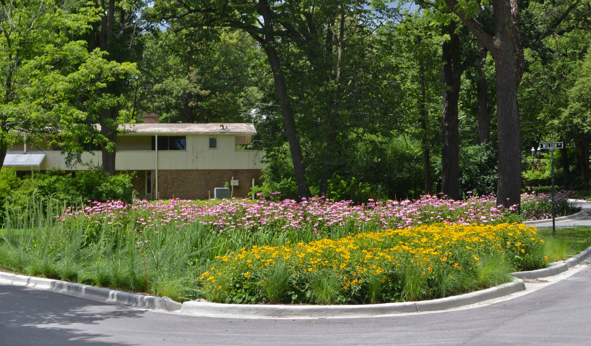
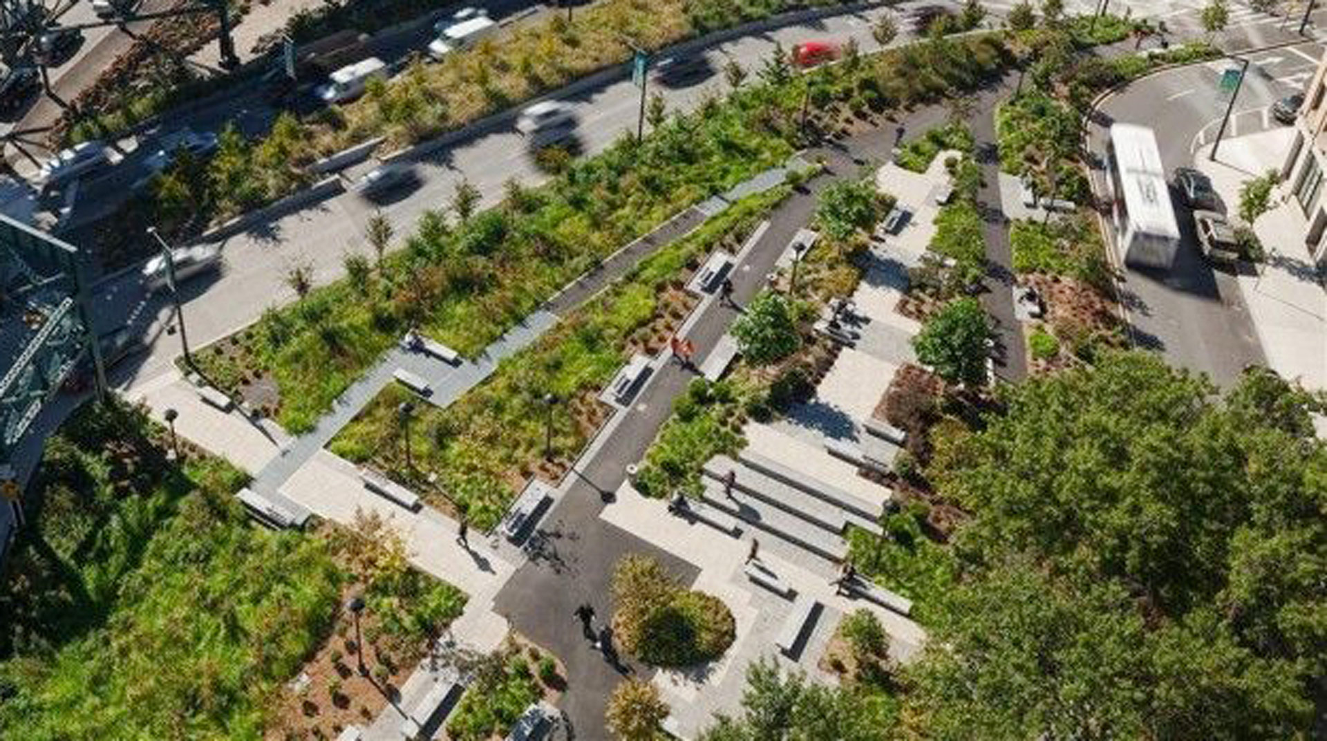
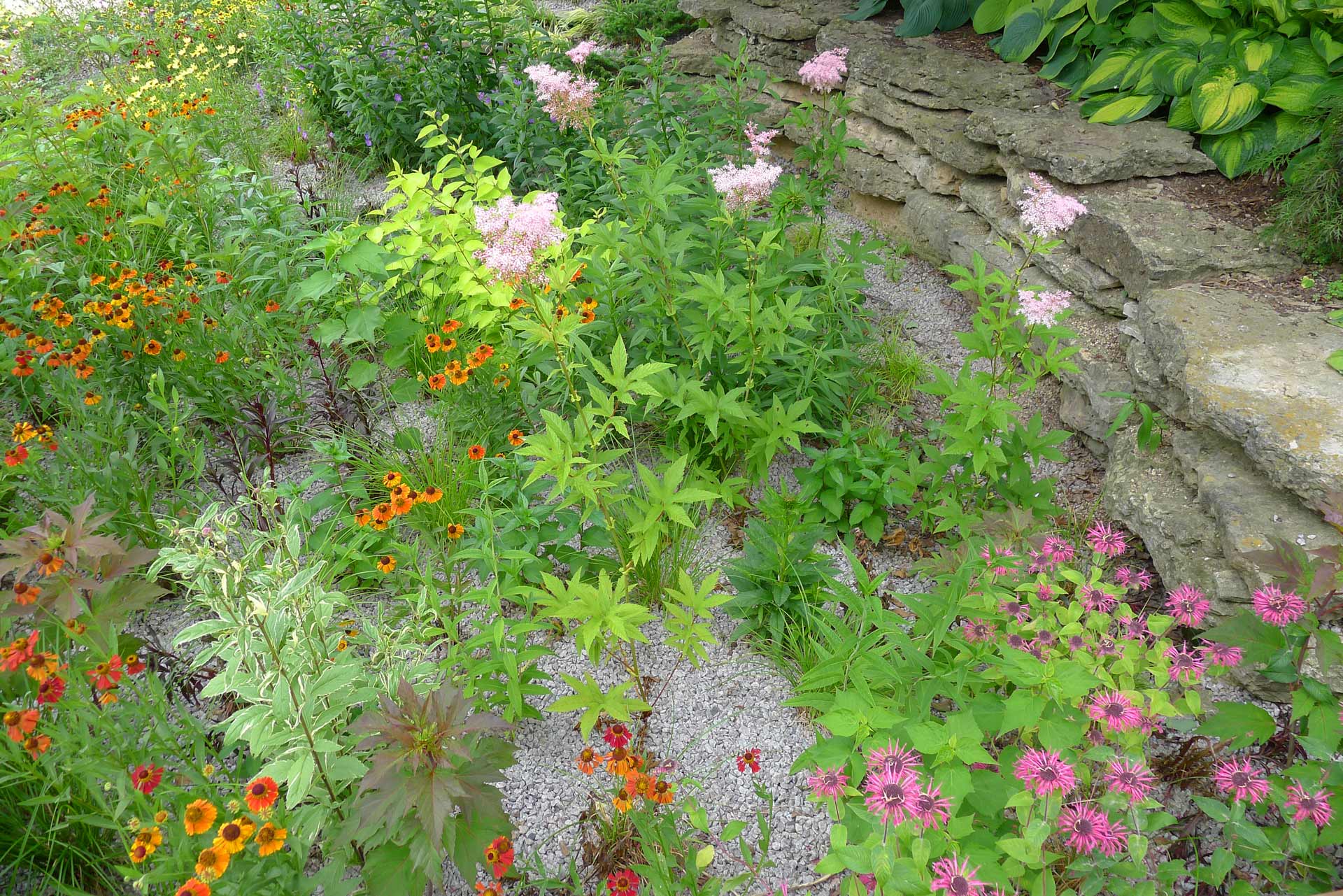
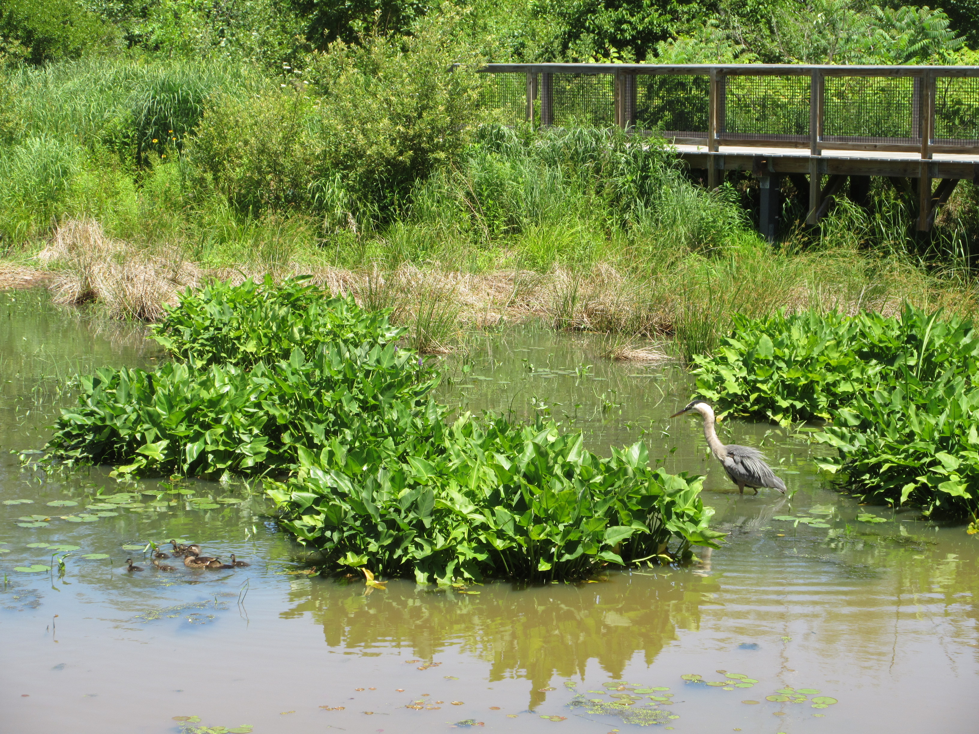
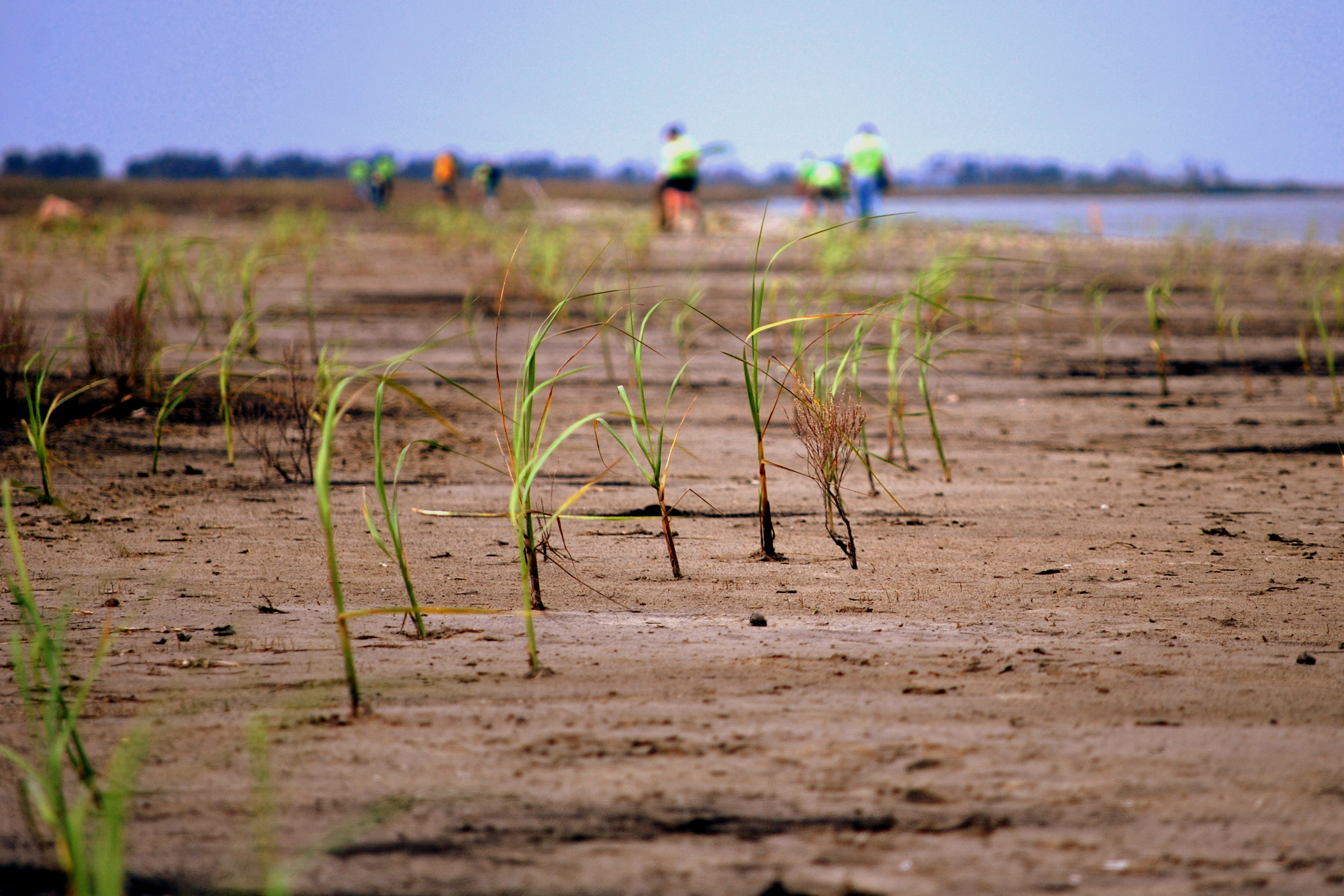
The group determined there needed to be a way to safely hold more rainwater during storm events to prevent it from further overwhelming the stormwater drainage system. ODU engineering students developed a “water budget” for the neighborhood using the Environmental Protection Agency’s Storm Water Management Model (SWMM). From this they determined the volume of peak storm water flow they needed to remove to minimize flooding impacts and allow the existing compromised stormwater system to handle the runoff. They found that a distributed approach that included downspout disconnects, on-ground interlocking cistern systems, rain gardens, bioswales, and permeable pavers with under-street cisterns would be most effective at addressing stormwater flooding. In addition, they concluded that installing a living shoreline along the riverfront would help protect the shoreline from erosion while maintaining its natural feel.
Funding/Financing
Initial funding for the study, $50,000 in total, was provided by Virginia Sea Grant for project planning. The project was later included in the state of Virginia’s submission to the HUD-run, post-Sandy, Natural Disaster Resilience Competition. Virginia was selected as one of the winners of the competition and received $120 million to implement these and other coastal adaptation strategies.
Benefits
Results indicate that these new design elements will allow the community’s stormwater system to effectively handle stormwater now and into the future. Implementing these nature-based solutions should significantly reduce stormwater peak flows, reduce stormwater pollution run-off and expand wetland and natural shoreline areas.
Sources
Stiles, William A. et. al. “Tidewater Rising Resiliency Design Challenge.” Wetlands Watch. P.23-24. January 2016. Web. 09 Nov. 2016.