Boulder Creek Floodplain Restoration, Boulder, Colorado
Challenge
In September 2013, a major thunderstorm caused massive damages throughout the Front Range area, devastating small towns like Lyons with flash floods and highlighting vulnerabilities to stormwater flooding in urban areas of Boulder. While not the largest flood to strike Boulder, it was the latest of several since the 1860s, with peak flows in some areas reaching in more than 9,000 cubic feet per second (CPS).
Project Details
- Location: Boulder, CO
- Population: 107,329 (2015 est.)
- Strategies: Bioswales, Green streets, Urban Trees/Forests, Floodplain restoration, Planning and Zoning, Flood water detention areas
- Cost $69.5 million (estimated)
Overview/History
Flooding has been a serious issue in Boulder since the city’s incorporation in 1871. A flood in 1894 had significantly higher peak flows than the 2013 event, and peak flows in 1864 were estimated above 12,000 CPS.
Addressing flooding has been such an integral part of Boulder’s history that planning for flood mitigation dates back to the early 1900s. As part of his work in helping create a master plan for Boulder in 1910, Fredrick Law Olmstead Jr. recommended that Boulder Creek remain relatively free from development to reduce potential flooding impacts. While heightening awareness of flood risks, the 2013 event was nothing new, but did provide a more current motivation for addressing ongoing problems.

Solution
In response to the 2013 floods, the Urban Drainage and Flood Control District (UDFCD), a Denver-based regional agency, along with the city, Boulder County, and the City of Longmont, led an effort to create the Boulder Creek Restoration Master Plan, which was ultimately issued in December 2015. The restoration master plan aims to improve resilience along nearly 24 miles of Boulder Creek, from its confluence with Fourmile Creek in Boulder Canyon to the confluence with St. Vrain Creek (which also runs through Lyons) in Longmont.
Combined with other segment plans, this plan formed a larger initiative to reduce flood hazards and increase the resiliency of the greater Boulder Creek area. The restoration master plan aims to provide guidance for stream restoration along Boulder Creek and to identify ecological needs and benefits as well as floodplain management strategies. It also is intended to provide recommendations for recreation and transportation improvements at creek crossings.
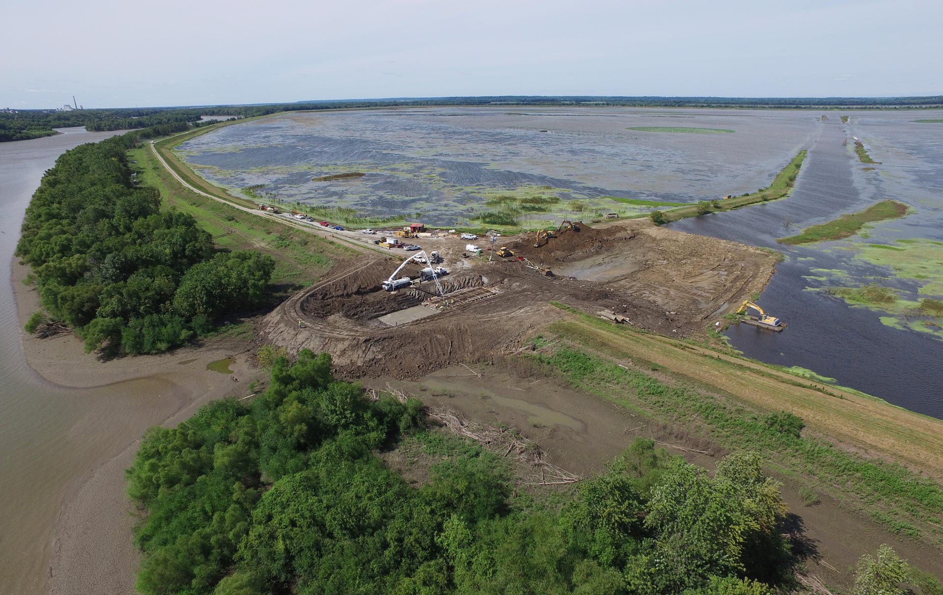
Many of those alternatives were presented in a separate South Boulder Creek Major Drainageway Plan prepared for the City of Boulder and UDFCD and released in July 2014. That plan included detention areas as well as berms and excavations to relieve flood pressures on the city and the university. (Funding is projected for 2018.) The restoration plan, however, also focused on remediating past channelization activities that reduced the sinuosity of the creek–that is, the degree to which it meanders, which can slow floodwaters and reduce damages. Given the speed of flash floods descending from the mountains, this type of restoration can sometimes be a significant factor in the reduction of flood losses.
Funding/Financing
As yet, it is not entirely clear where money will come from to underwrite many of the specific projects envisioned. The restoration master plan speaks generally of grant funding and the use of the plan to establish priorities. However, the plan provides detailed cost estimates totaling about $69.5 million for all the specific improvements identified in nine reaches of Boulder Creek throughout the study area.
Benefits
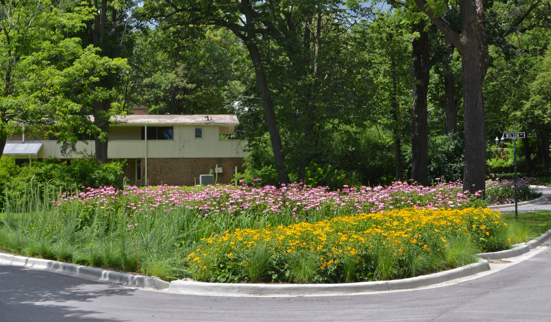
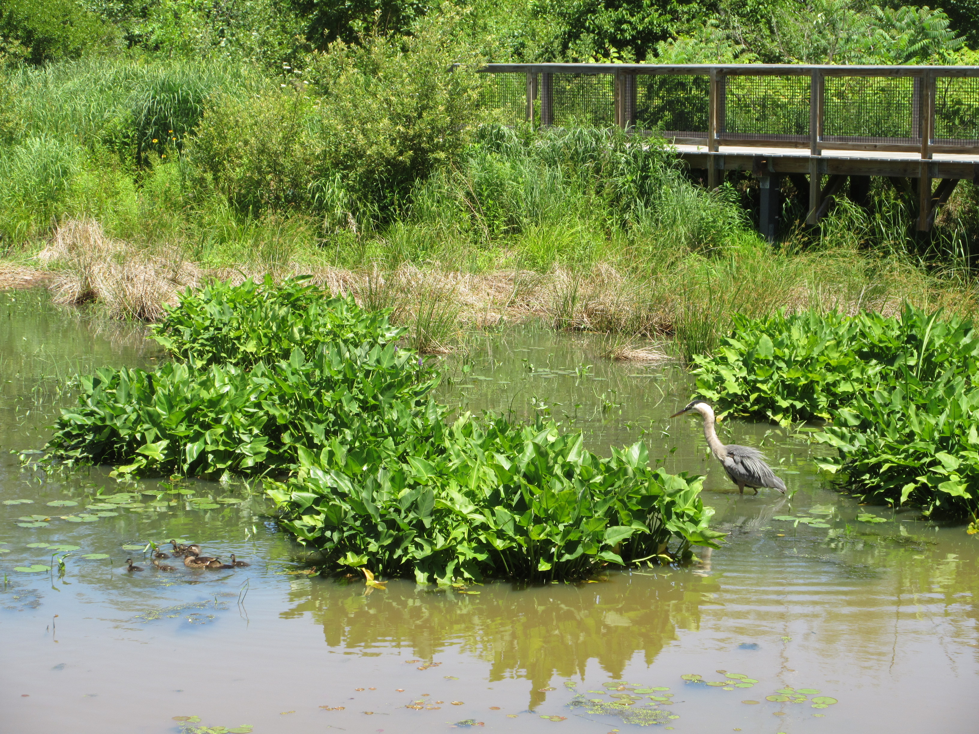
Because the 2013 floods in Colorado provided the primary incentive for the projects that followed, it was to be expected that the primary benefit targeted under the plan is flood loss reduction or general flood protection. However, it is almost certain that the nature of the solutions being employed would generate ancillary ecological benefits by restoring wildlife habitat and creating new open space. Boulder already has a noteworthy history of creating active open space along Boulder Creek through its bicycle trail system, which is heavily used. The restoration plan envisions some expansion of ecological benefits by adding to the existing riparian zone with native vegetation and trees. As the plan notes, “A properly functioning riparian corridor protects the physical integrity of the aquatic ecosystem.”