Hazards Addressed
Regional Considerations
Cost
Community Type
Scale
Planning Approaches to Reduce Natural Hazards
Flooding is a natural process that, in the absence of human settlements, is of relatively little concern. However, when human settlements are introduced in to an area where flooding occurs, hazards to life and property from rising flood waters become challenges that must be addressed. Effective floodplain management requires communities to identify and understand which areas in their community are at risk from flooding, create planning and zoning schemes that keep people and infrastructure out of harm’s way, and establish regulations that promote flood-safe decision making.
With effectively mapped floodplains and flood risks, planning and zoning are powerful tools that, when used effectively, can set communities on the path to resilience. As a part of a floodplain management strategy, this can allow for the reduction or prevention of current and future flood problems and creates a means of protecting natural habitats that provide hazard reduction and other benefits.
There are a number of commonly used vehicles that communities use to implement these tools. What follows is a list of some of the more common planning tools that may have a role to play in promoting more flood hazard-resilient communities. It is important to consider that these tools, while presented as separate, are most effective when they are integrated with one another and carry a consistent message and set of actions that promote resilient decision making.
Comprehensive Planning
The comprehensive plan, much as its name implies, establishes a comprehensive set of goals for a community to pursue. It is a forward-looking, at times aspirational effort that sets the stage for other plans, regulations, policies, and programs that implement the comprehensive plan’s goals.
Comprehensive plans are often used to establish a vision for future land uses, which can be used to promote a more resilient community. Directing development away from current and future areas that are vulnerable to flood impacts can promote greater community resilience. Similarly, open space acquisition plans and conservation plans can be used to target valuable natural habitats that can reduce flood and erosion risks if they are protected from development impacts.
ASFPM provides further guidance on using comprehensive plans to reduce flooding impacts in Tool 1 of their No Adverse Impact (NAI) Guide to Planning.
In addition to steering development away from flood-sensitive areas through the long-range land use plan component, comprehensive plans can also include broader goals and objectives that are related and complementary to flood reduction, such as encouraging green infrastructure and respecting natural topography. The American Planning Association’s best practices for comprehensive plans encourage features and processes that recognize the value of natural systems and services to the environment, economy, and equity.
Risk Assessment
Planning and floodplain management efforts are built on a description of the hazard and its impact on development (and the impact of development on natural floodplain functions). While some communities rely solely on their Flood Insurance Rate Map (FIRMs) to determine what their risk is or react to the impacts of the most recent disaster, communities that have invested in enhanced floodplain mapping should look to those mapping efforts to guide the assessment of their disaster risk. It is important to account for not only current risk from a variety of hazards but also to look at how that risk may change over time as flooding and erosion impacts change with changes to sea level and precipitation patterns.
The American Planning Association, ASFPM, and National Association of Counties (NACo) are working with AECOM to improve risk modeling and provide guidance on where and how risk models can be incorporated into larger planning efforts.
The National Oceanic and Atmospheric Administration has created projected sea level rise maps for the entire United States coast that can help visualize what future sea levels and storm events might look like.
The National Climate Assessment made general projections for land use change over time as well as projections for changes in precipitation. Wherever possible, locally down-scaled information should be used to get a more refined view of what the future may hold.
Hazard Mitigation Planning
Hazard mitigation plans are focused on actions that are intended to reduce flood losses in a community, such as identifying areas where buy-outs of flood prone structures may occur. A local hazard mitigation required for local governments to be eligible to receive hazard mitigation assistance from the federal government, principally in the form of a few grant programs run by FEMA. These plans and the process used to develop them generally provide a good opportunity to work with community members to identify real and perceived vulnerabilities and to map out strategies to reduce or eliminate those vulnerabilities. While the process can be onerous, it is well worth the time to invest in the development of a highly localized hazard mitigation plan and to integrate that planning work into land use plans and building codes.
FEMA has established a guide for local Hazard Mitigation Planning, and the American Planning Association has put together guidance on integrating hazard mitigation planning into local planning efforts.
Post-Disaster Planning
Disaster recovery often provides an opportunity to address vulnerabilities in a community that couldn’t be addressed outside of the recovery process; however, this works well only if there is a clear plan in place to address those liabilities. The post-disaster environment is often marked by considerable disruption and urgency. Having a clear plan to ensure that communities improve upon their pre-disaster conditions and reduce their overall exposure to flood losses is the best way to make sure that the confusion of the post-storm environment is navigated as successfully as possible. The American Planning Association has produced extensive guidance on recovery planning, including both web-based resources and a PAS Report.
The Natural Hazard Mitigation Association has created the “Build Back Safer and Smarter” guide to help communities plan for disasters and recovery more effectively.
Summary
Planning, both long-term and disaster-specific, is an essential tool to creating a more resilient community. A well-done comprehensive plan can set forth a vision for a community that invests in such a way as to reduce flood risks and promote resilience, while also ensuring that existing natural flood and hazard defenses are protected and enhanced. Even in the most resilient communities, however, disasters will still happen, so having a plan to mitigate those impacts in advance of a storm event and recover from them as quickly and effectively as possible in the aftermath are also essential tools to promote a healthy, vibrant, and resilient community.
Additional Resources
ASFPM has developed a flood management approach called No Adverse Impact (NAI) as well as a considerable amount of resources on how to best manage the floodplain. A broad array of guidance and information is available via the ASFPM NAI Resource Center.
APA has a Hazards Planning Center dedicated to improving how communities plan for and address hazards and hazard mitigation, including studies, guides, and webexes.
-
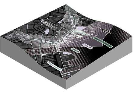
 Conservation of Posidonia Oceanica Meadows, Andalusian Mediterranean Sea, Spain
-
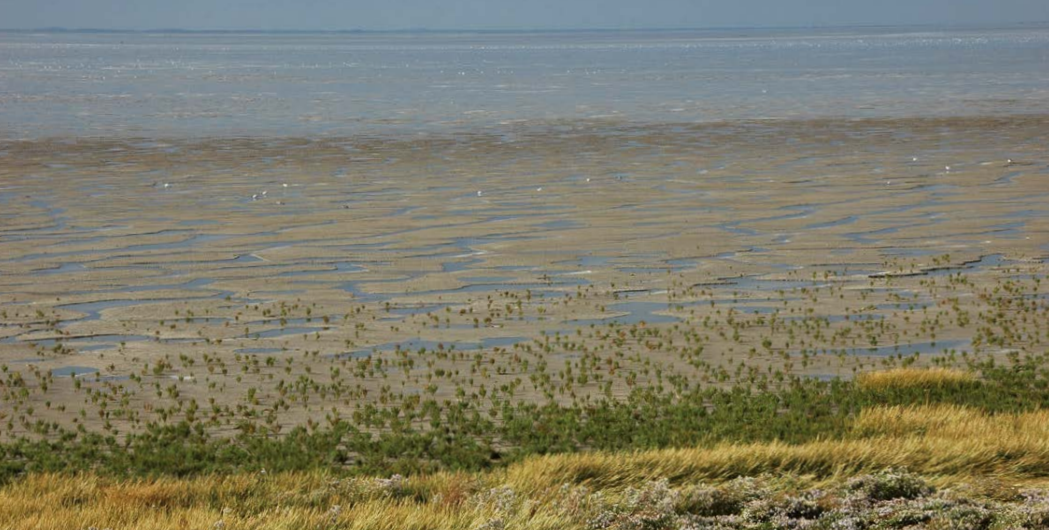
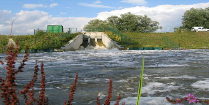 Salt Marsh Restoration in Lippenbroek, Lippenbroek, Belgium
-
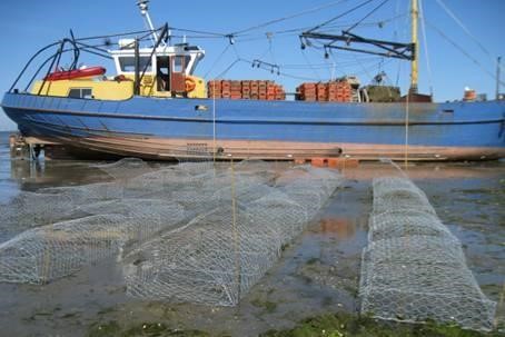 Oyster Reefs Eastern Scheldt Pilot Project, Eastern Scheldt, Netherlands
-
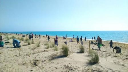
 Dune Rehabilitation in Praia do Faro, Faro, Portugal
-
 Mud Motor Port of Harlingen – Koehool, Friesland, Netherlands
-
 North Norfolk Coast, North Norfolk, United Kingdom
-
 Urban Hybrid Dunes in Barcelona, Barcelona, Spain
-
 Scheldt Estuary, Hedwige and Prospect Polders, Netherlands and Belgium
-
 Adaptive Restoration of the Former Saltworks in Camargue, Camargue, France
-
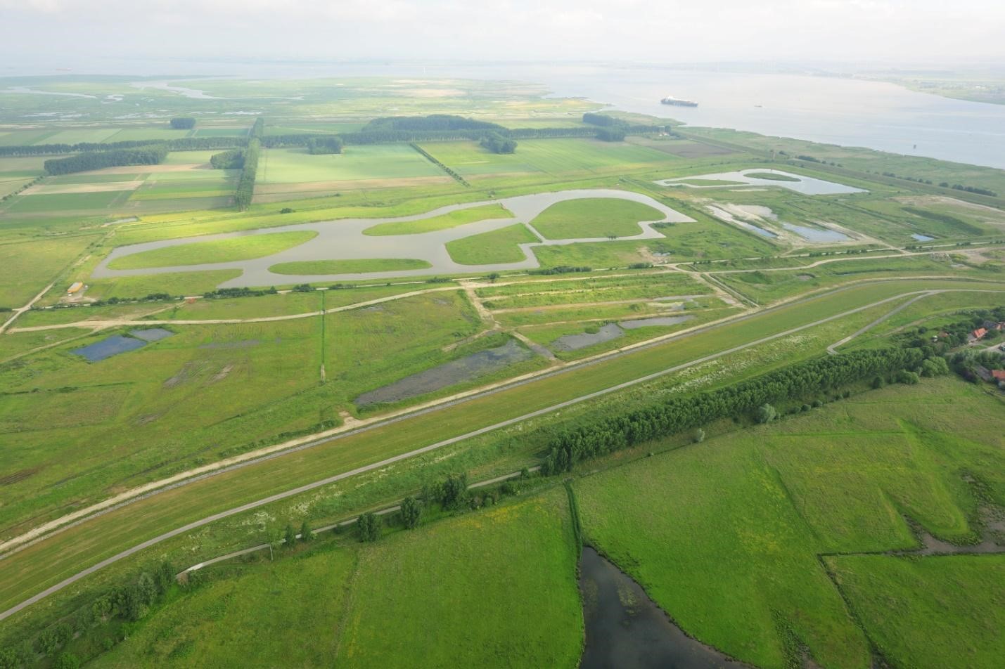
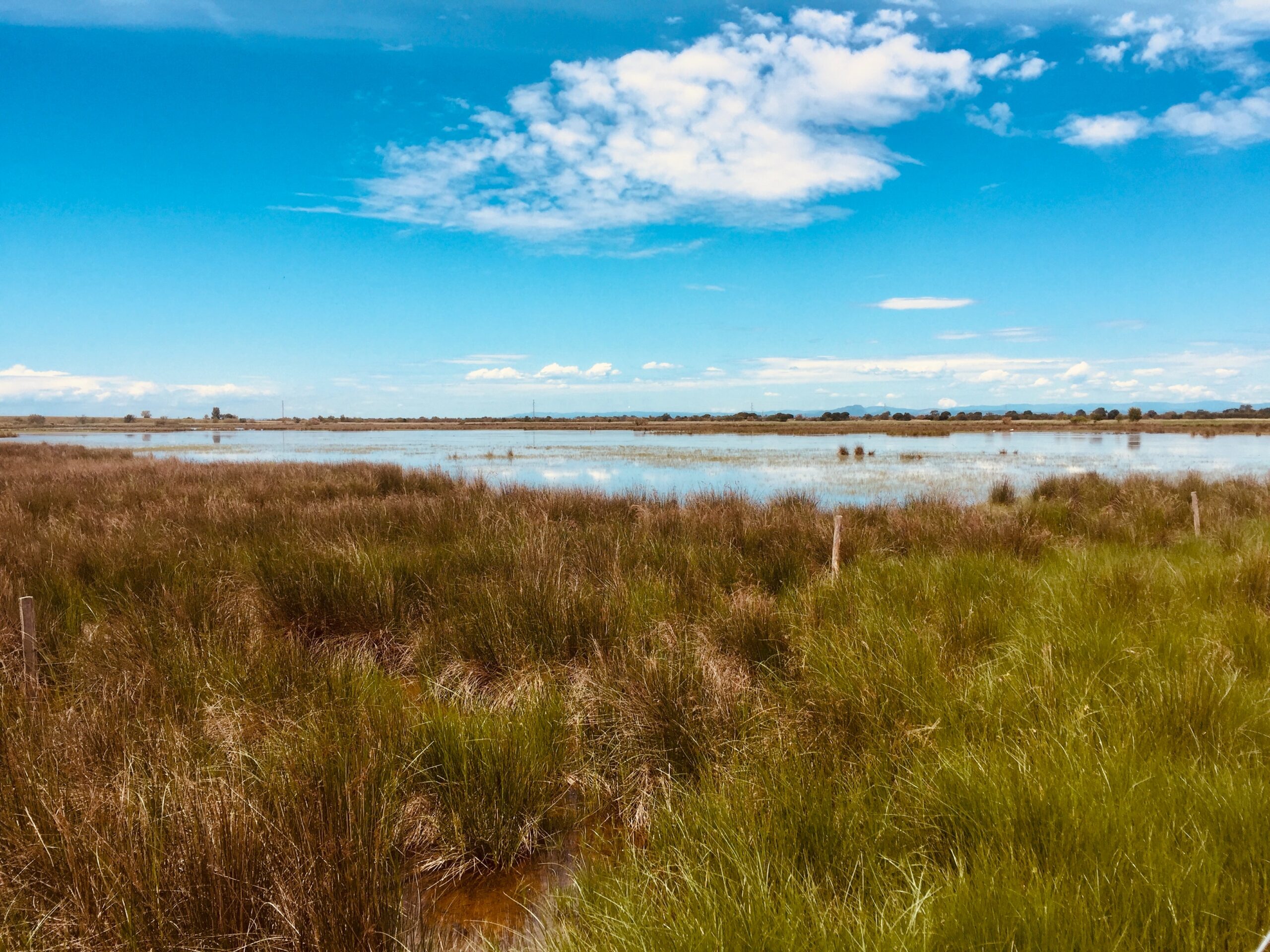
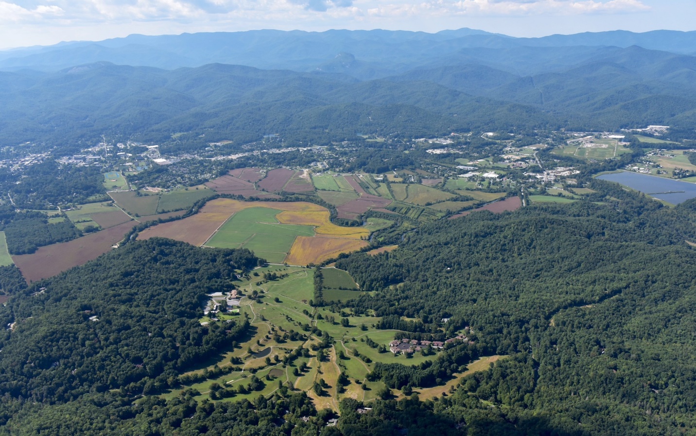 Managing Land Use to Maintain Open Space in the Floodplain, Brevard, North Carolina
-
 Boulder Creek Floodplain Restoration, Boulder, Colorado