North Norfolk Coast, North Norfolk, United Kingdom
Challenge: Across 40 km of coastline between Hunstanton and Weybourne in the North Norfolk District of England, over 100k residents are at risk of flooding and erosion. The developed areas are nestled in an important natural complex of legally protected coastal habitats hosting diverse wetland types and high biodiversity, which resulted in tensions between the local community and conservationists. Local residents wanted to pursue more infrastructure for flood defence to protect key economic sectors and infrastructure from flooding while the conservation community prioritized the protection of this important natural area. There was a strong push from local communities for traditional ‘grey’ flood protection infrastructure as the most effective means to reduce flood risk and a general distrust in the efficacy of green measures which would also meet conservation aims.
Project Details
- Location: North Norfolk District, England
- Population: 105,167
- Strategies: Dune rehabilitation, Ecosystem restoration, Managed realignment
- Cost: £ 623,900
- Benefits: Flood reduction, Biodiversity restoration, Reduction of erosion, Water quality improvement, Recreation, Economic development, Carbon sequestration, Educational
Overview/History: In 1996, a significant storm surge caused coastal flooding in different areas on the east coast of England, including the North Norfolk District. This event triggered a concern that traditional ‘hard’ engineering defences and conventional coastal management options such as beach reprofiling were not going to be effective and sustainable in the long term. Between 1996 and 2013, evidence on the impacts of coastal flooding and erosion on traditional engineered structures was gathered through monitoring programs. Additionally, some of the conventional measures were proven to decrease coastal protection levels. For instance, the annual beach reprofiling in a section of coast from Cley to Salthouse limited the natural landward migration of the barrier beach. As a consequence, the councils had to create narrower and steeper beaches to avoid overtopping, but at a cost of putting the existing seawalls at a higher risk of breaching.
The transition to a new coastal protection approach and plan was not a straightforward process as many of the stakeholders tended to prioritize their short-term needs versus longer term adaptation priorities. For instance, the local communities first argued that traditional engineering measures would prevent flood losses. However, mounting evidence from the monitoring programs showed that grey infrastructure was not always effective and that a green approach of protecting coastal ecosystems could be an effective measure to improving coastline resilience. Despite the initial unpopularity in the approach, the communities agreed to test the combination of traditional engineering approaches with natural features. As evidence mounted to support the efficacy of this approach, grey-green coastal protection became a priority in the area to address both the growing coastal risks and coastal conservation goals.
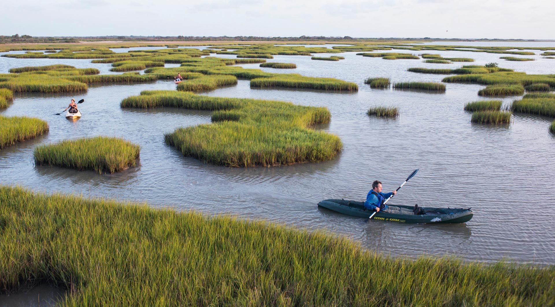
Solution: Considering the different ecosystems found in the North Norfolk coast (i.e., freshwater, brackish and intertidal wetland habitats, beaches and dunes), this case study included four projects that employed nature-based approaches between 2002 and 2011.
In 2002, at Brancaster, a hybrid project removed failing infrastructures (riprap and gabions), allowing a natural development of the existing dunes as a first line of defence for adjoining communities against coastal flooding. A new embankment was also installed landwards of the dunes as a secondary line of defence against flood waters. In between the dunes and the new engineered defence, intertidal habitats were created to both guard the infrastructure from wave energy, increase flood storage capacity, and support coastal biodiversity.
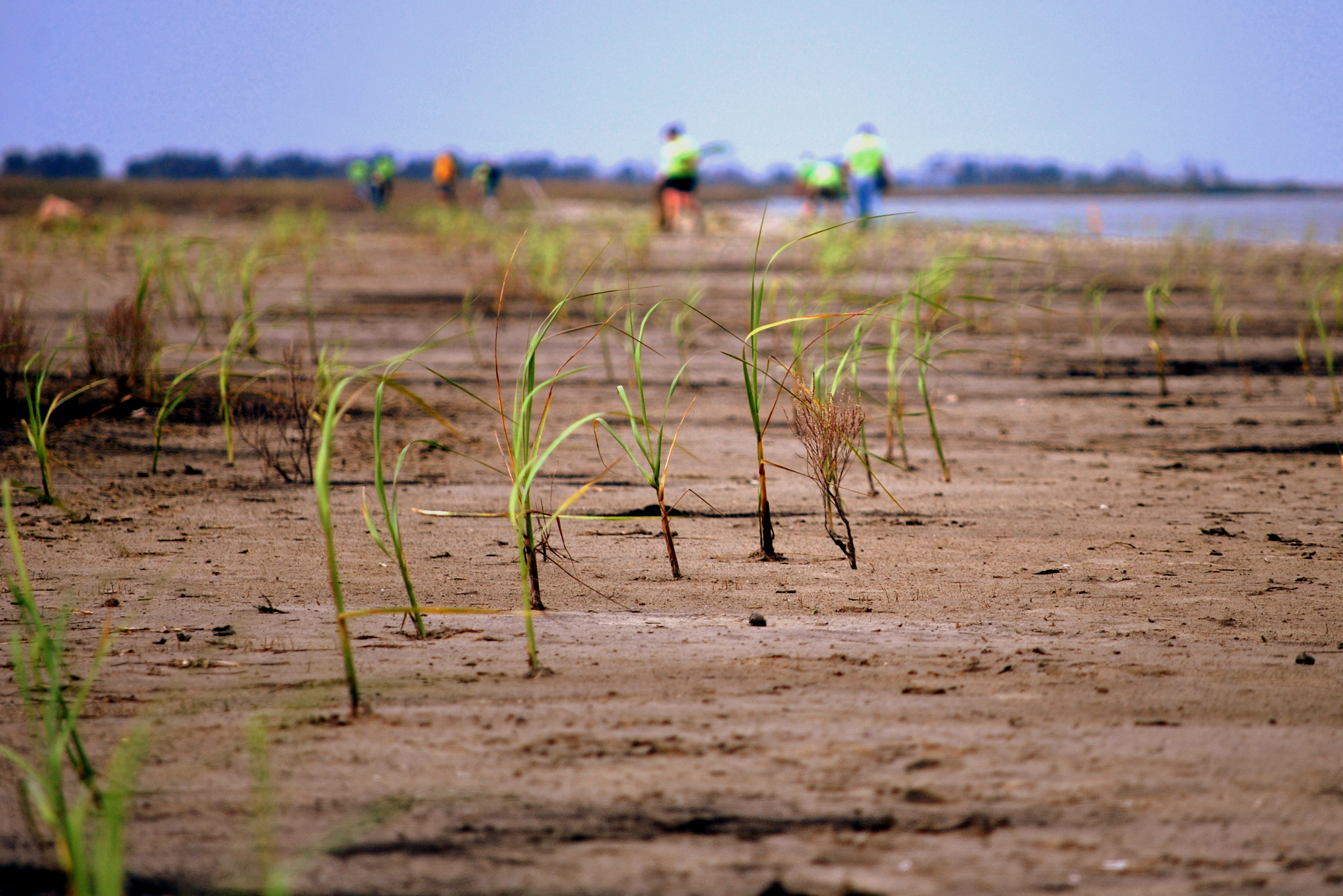
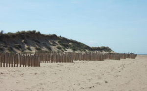
In 2004, the Holmes Dunes project was launched to protect a sand dune habitat, a freshwater habitat and one property with supporting infrastructure while working with coastal processes to maintain the integrity of the coastal habitats. After several trials based on traditional, hard engineering solutions, a ‘dragoon tooth’ fencing-style was installed to support sand trapping in front of the eroding dune ridge to ensure stabilization and growth of the dune as a natural flood barrier. Once stabilized, the dune provided lasting protection of the freshwater habitat and the property.
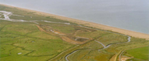
Finally, the River Glaven project and the change on the management scheme at the Cley to Salthouse shingle barrier (from 2007 onwards) resulted in the restoration of natural coastal protection features at these sites. The River Glaven channel was susceptible to obstruction due to sedimentation because of the proximity to the shingle barrier (common term used in the UK to refer to a rounded-gravel beach). Therefore, in 2006, a section of the river was realigned approximately 250m inland in order to improve the natural drainage capacity behind the Cley to Salthouse shingle barrier. Since 2007, no further work on the project sites has been needed. Although there has been some partial flattening of the dunes and occasional breaches of the barrier due to storms, the project has resulted in a more resilient and adaptive shoreline. Extreme flooding events in 2013 and 2017 successfully demonstrated the improved drainage delivered by the realignment of the River Glaven. The focus of the Cley to Salthouse intervention was to restore the natural coastal processes and geomorphological evolution. Thus, although the shingle barrier was breached during the flooding events, the combination of both projects was proven successful.
While some projects encompass traditional ‘hard’ engineering features, they are designed to work with natural processes instead of disregarding, disrupting, and degrading them. The initial resistance to a nature-based approach was surmounted by the implementation of small-scale projects around the North Norfolk Coast, which raised awareness and confidence amongst residents and local stakeholders in NbS.
The four projects mentioned above and further referenced below have proven to help reduce the impacts of extreme events such as a major precipitation event in the winter of 2013-2014. The evidence-based approach through preliminary tests, carried out with stakeholders’ engagement, resulted in wide support for the scaling-up of larger NbS projects, even in other areas of the UK with similar social, environmental and coastal protection contexts.
Funding/Financing:
Each of the four projects along the North Norfolk Coast had a different funding structure:
- Brancaster: Defra flood defence grant-in-aid (FDGiA) and Living with the Sea EU LIFE – £389,000.
- Holme Dunes: Environment Agency/English Nature (Natural England)/Norfolk Wildlife Trust – Cost unknown.
- River Glaven and Cley to Salthouse: Defra FDGiA, EU Objective 2 fund, East of England Development Agency (EEDA) and Department of Trade and Industry – £2,349,000.
Benefits: The nature-based measures employed in the North Norfolk district resulted in several benefits, with the reduction of flooding of coastal communities and properties and restoration of biodiversity highlighted as the outcomes. Other benefits include the reduction of erosion, water quality improvement, carbon sequestration, as well as the fostering of further economic development and public amenity improvements for residents and tourists. Maintenance and management costs for flood control were reduced while simultaneously enhancing habitats with national and international relevance (this region is one of the most vital wetland zones in England for waterfowl). The four projects presented as part of this case study presented here have also added aesthetic value to the coastline, creating more climate change-resilient habitats, and contributed to climate change mitigation through carbon sequestration. Moreover, the River Glaven scheme has boosted tourism and awareness through the development of a new visitor centre and interpretation boards.
‘Dragon tooth’ fence at Holme Dunes. Source: https://www.therrc.co.uk/sites/default/files/projects/47_northnorfolk.pdf
Construction of River Glaven managed realignment behind the Cley to Salthouse shingle barrier. Source: https://www.therrc.co.uk/sites/default/files/projects/47_northnorfolk.pdf
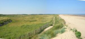
Brancaster West Marsh. Source: https://the-atlas.com/projects/brancaster-west-marsh
References:
Case study 47. North Norfolk Coast. Source: https://www.therrc.co.uk/sites/default/files/projects/47_northnorfolk.pdf
Public perception of managed realignment: Brancaster West Marsh, North Norfolk, UK. Source: https://www.sciencedirect.com/science/article/abs/pii/S0308597X01000331?via%3Dihub
HOLME-NEXT-THE-SEA – NEIGHBORHOOD PLAN 2016-2036. Source:
North Norfolk CHaMP, the Brancaster realignment. Source: https://webarchive.nationalarchives.gov.uk/20090514101146/http://www.eclife.naturalengland.org.uk/project_details/good_practice_guide/habitatcrr/ENRestore/CHaMPs/NorthNorfolk/NorthNorfolk/Brancaster/Appraisal/Index.htm
Working with natural processes to reduce flood risk. Source: https://assets.publishing.service.gov.uk/government/uploads/system/uploads/attachment_data/file/654440/Working_with_natural_processes_one_page_summaries.pdf
Brancaster West Marsh. Source: https://www.omreg.net/query-database/8-brancaster-west-marsh/
Norfolk Population Data. Source: http://www.norfolkinsight.org.uk/population/reports/#/view-report/b15822d80ec54439bb12134b7c857bb9/E07000147
STORM EVENT – 19TH FEBRUARY 1996. Source: https://www.surgewatch.org/events/1996-02-19/
Gravel beaches. Source: http://www.coastalwiki.org/wiki/Gravel_Beaches